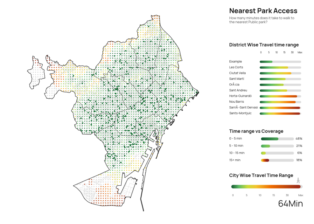
Nearest Park Mapping: Why Measuring Walking Access to Public Green Space
A city can have many parks and still feel unequal in the way people actually reach them. That is what […]
A city can have many parks and still feel unequal in the way people actually reach them. That is what […]
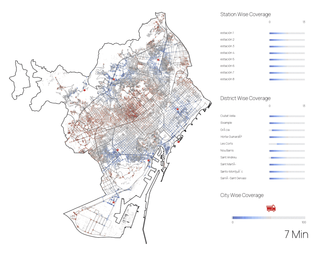
Emergency preparedness in cities is often evaluated using fixed metrics such as response time, station distribution, and coverage radius. While
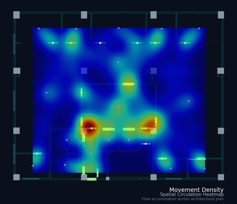
There’s something slightly incomplete about the way we usually read architectural drawings. Plans tell us where things are walls, rooms,
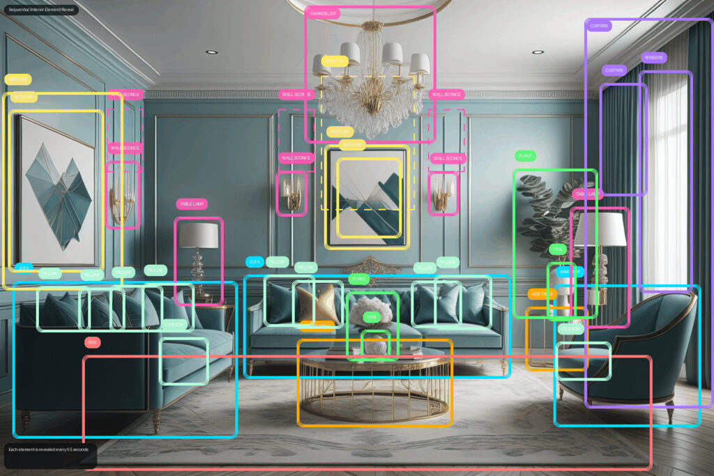
From visible elements to spatial interpretation Introduction Interior images are usually read in a very instinctive way. We look at
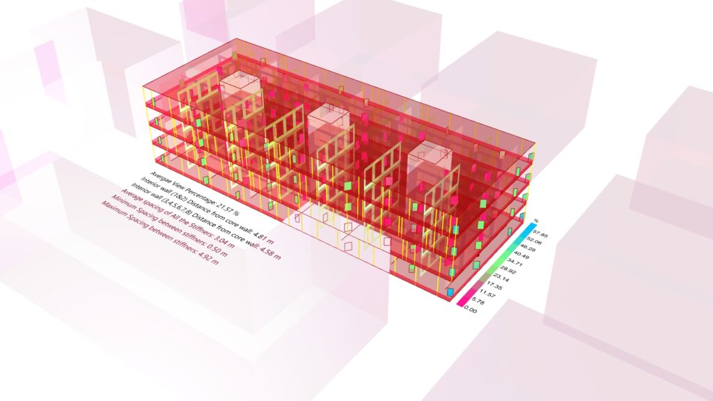
Introduction Design has always involved making choices. What has changed today is the number of variables we need to consider.
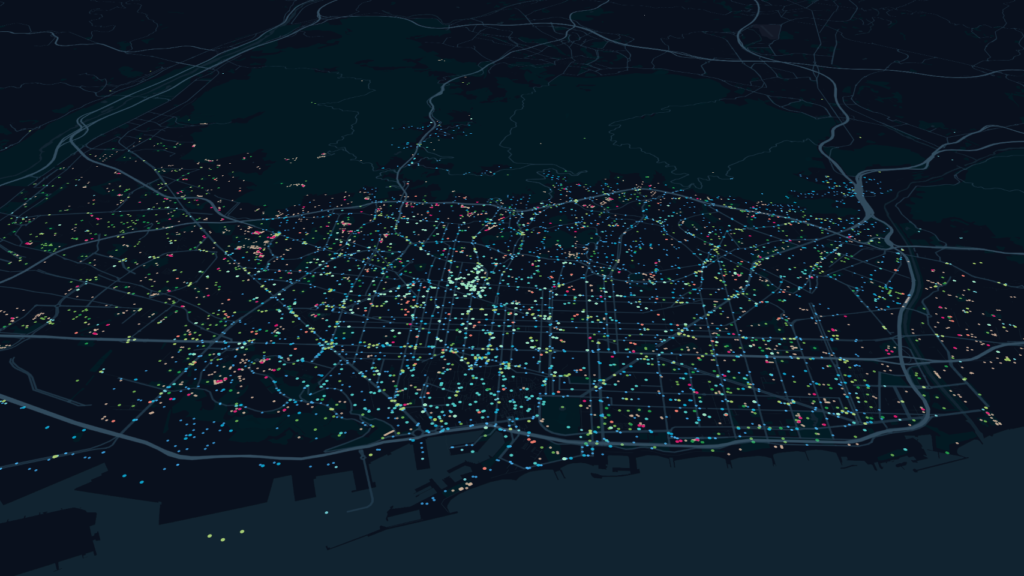
Introduction Cities are often described as engines of opportunity, places where access to education, healthcare, mobility, and culture is concentrated.

Introduction Urban environments today are shaped by an unprecedented volume of data. From transportation systems and environmental sensors to building
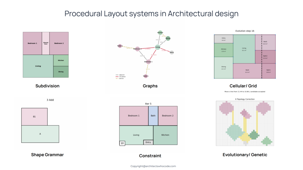
Architectural layouts are traditionally drawn, line by line, room by room, decision by decision. Every wall, every connection, every proportion

When architects talk about IFC files, they are usually described as something technical, neutral, or simply something you export at

For many architects, IFC files are something we export at the end of a project because someone asks for them.